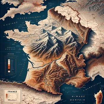
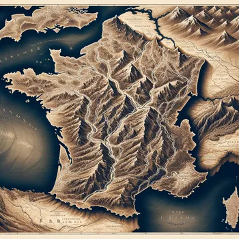
Detailed Map of France
A highly detailed and labeled map of France, showcasing the major cities, rivers, mountain ranges, and bordering countries as specified in the request.
Size: 1024 x 1024
0 Likes
47 Views
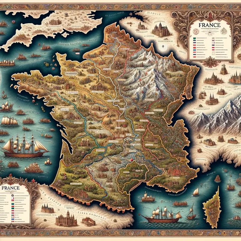
A highly detailed and labeled map of France, showcasing the major cities, rivers, mountain ranges, and bordering countries as specified in the request.
Yes. All images created with Tangra AI are copyright-free and fully approved for commercial use, with no attribution required.
Tangra AI uses a curated mix of the best-performing industry models like Flux, DALL·E, Imagen, Nano Banana, and Stable Diffusion alongside our own proprietary models to deliver consistently high-quality, production-ready images.
Yes. Tangra AI includes powerful editing tools that let you refine and adjust your images after they're generated.