Geoespatial Tactical Overview
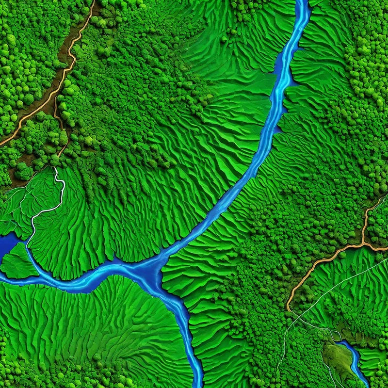
A high-resolution 3D bird's-eye topographic map suitable for military and strategic analysis. The map illustrates a dense tropical forest with varied green textures, and features the Río Canuto and Quebrada Mosquito in bright blue with realistic transparency effects. Road types are clearly distinguished with smooth, dark asphalt for primary roads and rough, lighter textures for gravel roads. Terrain elevations are depicted using shading gradients and soft contour lines, with clear labels for Q. MOSQUITO, Elevation X600, PUPUSÁ, Elevation X500, CHONTA, BEJUCO, ZAPALLO, VENADO, SANCUDO, and RÍO CANUTO. Political boundaries and geographic references are clearly visible.
Photorealistic, Size: 1024 x 1024
0 Likes
63 Views