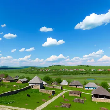
Rural Settlements Animated Map
A detailed animated map showcasing the development and layout of settlements in rural areas. It features small villages, scattered farmhouses, winding dirt roads, and fields. The animation tracks changes over time, illustrating factors like population growth, agricultural expansion, and infrastructural improvements. Natural elements like forests, rivers, and hills are also highlighted, emphasizing the interaction between human settlements and the surrounding landscape.
Art, Size: 1024 x 1792
1 Likes
129 Views