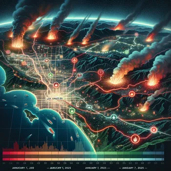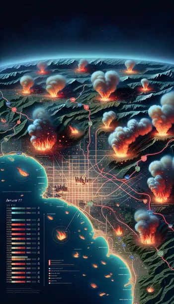
LA Wildfire Progression Animation
"An animated map of Los Angeles showing the progression of a wildfire over time. The map highlights key areas affected by the fire, such as neighborhoods and evacuation zones, with red flames and smoke icons marking the spread. The animation includes a timeline at the bottom, starting from 'January 7, 2025,' and advancing through key dates. Color-coded zones show varying fire intensity, with red indicating active fires, orange showing evacuation zones, and green marking safe areas. Subtle glowing effects emphasize the scale of the damage. The background includes a satellite-style view of Los Angeles with labeled highways, landmarks, and surrounding mountains." Photo Should Be 1080 x 1920 pixel and the resolution is high quality image and detail.