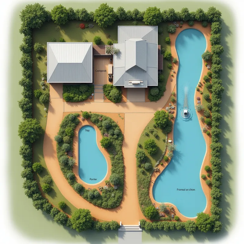
Permaculture Site Plan with Water Flow
A highly detailed, realistic, top-down site plan of a 140m x 50m block designed for a permaculture property in Regency Downs. Show the following: bitumen driveways, Colorbond (monument color) fences around the property, and a matching Colorbond back shed (6x9 meters, three roller doors and one pedestrian door at the front, monument color) sited in the top left corner. Display a centrally located house pad with realistic terraces made from block retaining walls, spaced by 1.5m, descending from the shed to the house. Show native plants and landscaping typical for the region. Include a back dam (behind the shed, oval/kidney-shaped, with visible filter layers), a creek flowing from the back dam through the terraces and vegetation, a naturalistic swim pond mid-slope, and a front dam at the lower right corner with visibly distinct filtration and pump system. Use arrows and subtle labels to indicate the closed-loop water flow: front dam → solar pump → back dam → creek → swim pond → front dam. Bicton-like water bodies with realistic reflections and natural outlines. Ensure all site elements (structures, vegetation, water flows) are cleanly drawn and visually distinct for planning. No vehicles or people. Clear and uncluttered layout for use as a planning reference.